The quad at University College London is notably impressive, as is Trafalgar Square. The model is far from complete but we assume other areas are on their way.
Music: London Town by Rod Kinny on unsigned.
 |
|
|
|
|
|
|
|
|
|
|
|
|
|
|
|
|
|
|
|
|
|
 |
|
||||||||||||||||||||
 |
 |
 |
 |
 |
 |
 |
|
||||||||||||||
 |
 |
 |
 |
 |
 |
 |
 |
 |
 |
 |
|
||||||||||
 |
 |
 |
 |
 |
 |
 |
 |
 |
|
||||||||||||
 |
 |
|
|||||||||||||||||||
 |
 |
 |
 |
 |
|
||||||||||||||||
 |
 |
 |
|
||||||||||||||||||
 The movie below provides a quick glimpse of our latest dataset in CASA - a LiDAR scan of London within the M25 ring road, the model is made up of in excess of 1.5 billion points:
LiDAR Scan of London from digitalurban on Vimeo.
 The movie below details a 1 meter resolution scan of London using LiDAR (an optical remote sensing technology that measures properties of scattered light to find range and/or other information of a distant target via laser pulses, Wiki). The ability to load in the entire scan of London - some 1,500 kmsq - is thanks to LandXplorer by Autodesk and we are impressed:
LiDAR Scan of London from digitalurban on Vimeo.
 Victor Keegan, writing in The Guardian, takes a look at the number of companies working on building London as a 3D model. From high end architectual represenations to Second Life the article takes a look at the history and the gold rush to build a three-dimensional replica of London, complete with streets, shops, parks, even the underground system.
The biggest - covering not just central London but an area stretching out to the M25 - is also the most bizarre: a publicly funded project that the public can't see. Built by University College in association with Connect London, it boasts 3.2m building blocks and could have gone live two years ago, well ahead of the competition, as part of Google Earth, but for our friends at Ordnance Survey, which controls the vital database refused permission. Cue the Free Our Data campaign.

 Three Dimensional Collaborative Geographic Information Systems (3DC/GIS) are in their infancy, Google Earth opened up the concept of three dimensions to the mainstream but issues with data copyright, the inability to effectively tag data to buildings and the asynchronous nature of the platform have limited developments.

 Its good to see geography in the New Scientist and their write up of the Virtual London/Ordnance Survey issue raises some good points with additional views from other professionals in the industry.
 The Guardian - a National Newspaper in the UK - has a full page spread on the story of Ordnance Survey and the licensing of our Virtual London model.


 As part of the Virtual London project at CASA we are modelling part of Newham. Developing the area section by section using a combination of LiDAR/aerial and ground based imagery the latest model to be completed is St John's Church.
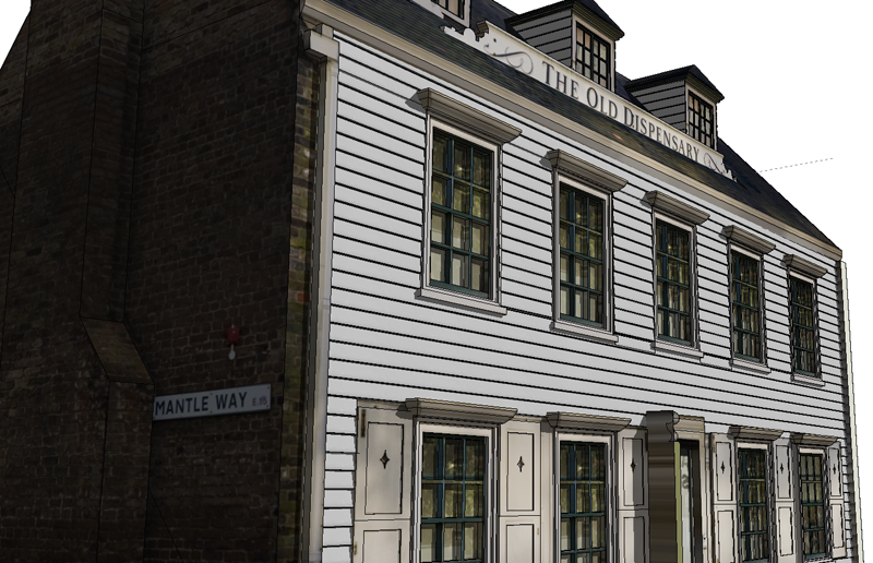 Central to this has been the addition of air photography, as soon as a photograph is draped on the roads and the roof tops the model moves to the next level. At the moment we are using 25cm imagery with 12cm following shortly thanks to the Ordnance Survey.
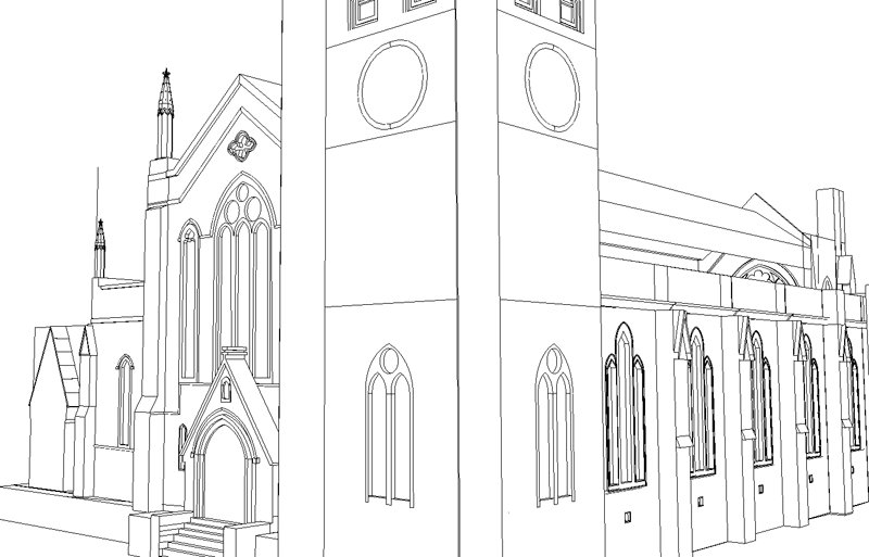 The value of good quality aeriel imagery should not be under estimated in the construction of virtual cities, if you can combine air imagery with street level detail and facades you are half way to a decent model.
