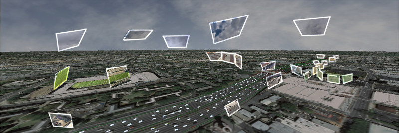
The movie clip below provides an insight into some particularly note worthy research, not just in terms of Google Earth, but also in terms of collecting and visualising traffic and pedestrian data:
Its not the overlaying of video clips in Google Earth, but the animation of complex traffic patterns in a digital city which we see as innovative. This has notable potential for populating city models with real-time traffic and crowd data as well as for the validation of agent based models.
Video tracking has huge potential for communicating issues of place and space in the urban environment as well as for data tagging and data collection for use in a GIS. Last weeks post on tracking pedestrians highlighted what could be archived with a simple webcam, if you add in computer vision and on the fly path analysis then you take the concept a step further.
Three dimensional video tracking has been around for a while but it is generally restricted to high end packages. If you have ever wanted to tag data onto video objects, analyse traffic flows and pedestrian paths or augment scenes then the video below brings it a step closer to consumer level:
For more information take a look at the following publications:
Goldman, D. B, Gonterman, C., Curless, B., Salesin, D., and Seitz, S. M. 2008. Video object annotation, navigation, and composition. In UIST '08: Proceedings of the 21st annual ACM symposuim on User Interface Software and Technology, 3–12.
Tomasz Gutowski has used yesterday's timelapse tutorial to collect and analyse data on pedestrian movement. Using the timestamps from the imagery and vector based positioning to create a density grid the results are remarkably impressive.
Toms YouTube movie below provides full details:
The possibilities are notable and Tom should be congratulated on the methodology...