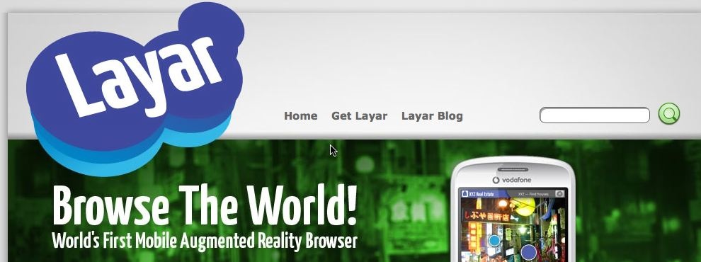
Combine GIS with mobile devices equipped with a digital compass and GPS and what do you get? Datascapes that can be mapped and layered on top of any object in the city, the potential for moving GIS and locational based services direct into the field is to be honest huge and now the first service has launched in the Netherlands via SPRXmobile. Known as Layar, it is the worlds first mobile Augmented Reality browser, which displays real time digital information on top of reality (of) in the camera screen of the mobile phone.
While looking through the phone’s camera lens, a user can see houses for sale, popular bars and shops, jobs, healthcare providers and ATMs. The first country to launch Layar is The Netherlands. Launching partners are local market leaders ING (bank), funda (realty website), Hyves (social network), Tempo-team (temp agency) and Zekur.nl (healthcare provider).
How it works
Layar is derived from location based services and works on mobile phones that include a camera, GPS and a compass. Layar is first avaliable for handsets with the Android operating system (the G1 and HTC Magic). It works as follows: Starting up the Layar application automatically activates the camera. The embedded GPS automatically knows the location of the phone and the compass determines in which direction the phone is facing. Each partner provides a set of location coordinates with relevant information which forms a digital layer. By tapping the side of the screen the user easily switches between layers. This makes Layar a new type of browser which combines digital and reality, which offers an augmented view of the world.

Worlds First? Wikitude, an AR travel guide, has been available for Android for some time now.
ReplyDeletehttp://www.mobilizy.com/en/wikitude-ein-reisefuhrer