
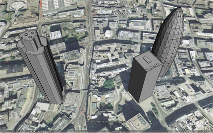
As an update to our Natwest/30St Mary Axe model, we have now added in St Helens which is a notable highrise in the City of London. Built in 1969 it stands 118 metres tall and was designed by RWHL Architects.
You can download the kmz file to fly into the model in Google Earth here (35k)
Your hyperlink doesn't work :-/
ReplyDelete