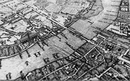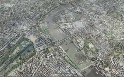
The image overlay of London 1690 has received a lot of interest. So much so that we now have a project at the lab to put more of these up as soon as copyright is cleared.
Frank Taylor from the excellent Google Earth Blog has sent us a tweak to the original file so that the Tate Modern now sits on the banks of the Thames rather than slightly in it due to a misalign. Thanks for that Frank.

A number of key landmarks which were around in London 1690 and other overlays which are coming shortly will be added. Hopefully making it a good resource of the teaching of History and Geography.
You can download the kmz file to fly into the overlay in Google Earth here

Great overlay but I think the map dates from somewhat after 1690 as the first Blackfriars Bridge was not built until 1769 and the first Westminster Bridge in 1750. Additionally, the covering of the River Fleet only began in the 1730s. Another map published around 1690 can be found here.
ReplyDelete