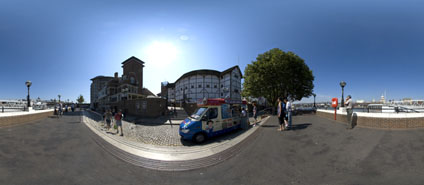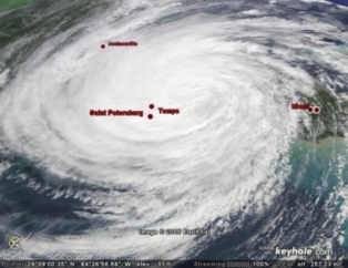
A lecture this week at the Royal Institution with Professor Mike Batty, on visualising the Global Environment and Virtual London required a number of movies to be produced with data overlayed on both a global and local scale.
We needed the ability to visualise data relating to global temperature change, hurricanes, heatwaves, etc mapped onto the earth as well as being able to fly into high resolution local imagery of London. Initially we used ArcGlobe, part of ArcGIS 9, unfortunately it did not prove to be the ideal tool due a complicated animation system, frequent crashing and the inability to simply paste initially non-geographically referenced data onto the globe.

In light of this we moved our focus onto Google's Keyhole Pro. A quick email to the offices and we had a full license allowing us to paste in images, shape files and render movies. Keyhole provided us with the ability to quickly add in our own data and tap into other users data shared over the web.

In the space of a few hours we had a number of movies covering both the earth as a whole and tours of London, allowing us to make the point that data collection and indeed manipulation is now opening up to users outside of the GIS community.
A movie demonstrating a flying into London as well as overlays relating to climatic conditions can be viewed from here (19Mb). The movie is encoded in DIVX format, which you can find out more about and download the encoder if required from our main movie page.

No comments:
Post a Comment