
The movie clip below provides an insight into some particularly note worthy research, not just in terms of Google Earth, but also in terms of collecting and visualising traffic and pedestrian data:
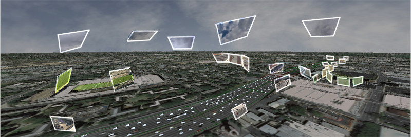
Its not the overlaying of video clips in Google Earth, but the animation of complex traffic patterns in a digital city which we see as innovative. This has notable potential for populating city models with real-time traffic and crowd data as well as for the validation of agent based models.
Picked up via http://www.gearthblog.com
See http://www.cc.gatech.edu/cpl/projects/augearth/ for full details - very neat.
No comments:
Post a Comment